Project information is subject to change. Your leader will reach out to you with an email after registration. Reach out to admin@wmhcta.org or info@wmhcta.org if you have questions.
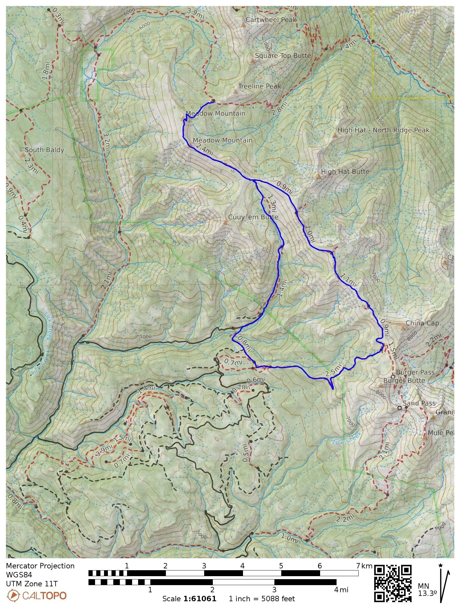
Trails: China Ridge Trail #1944, #1906, #1951
Trail Map: China Ridge Trail Project (If the QR code has expired, please download .pdf)
Itinerary: Meet at Buck Creek Campground & Trailhead. Work is primarily logout with some brushing.
Directions: From La Grande, Oregon, travel south on State Highway 203 for about 25 miles (the road is known as the Medical Springs Highway after leaving Union); Turn left on the Catherine Creek Lane (which becomes Forest Road 7785); Travel on Forest Road 7785 for four miles to Forest Road 7787; On Forest Road 7787, travel about 4 miles to Forest Road 150; The campground and trailhead are about 1/4 mile further up Forest Road 150.
Part of the Forest 7787 road is narrow and steep with a gravel surface.
Bring your own meals & water.
Gear Packing List: Car camping at Buck Creek TH. Bring food, clothing, water treatment and storage, and all other necessary camping gear for 3 nights 4 days. Backpacking capabilities not required.
Crew Leader: Pip Redding
Difficulty Rating: 4/5- Strenuous: Hiking is done over difficult and exposed terrain within 5 miles of Buck Creek Trailhead.
Project Work: 3/5- Moderate: Crosscut, moving/cutting limbs, moving logs, axe work.
Possible Hazards: Summer- hot conditions with periods of intense sun exposure and variable weather. Limited water availability in the field. Heat/Prolonged Sun Exposure.